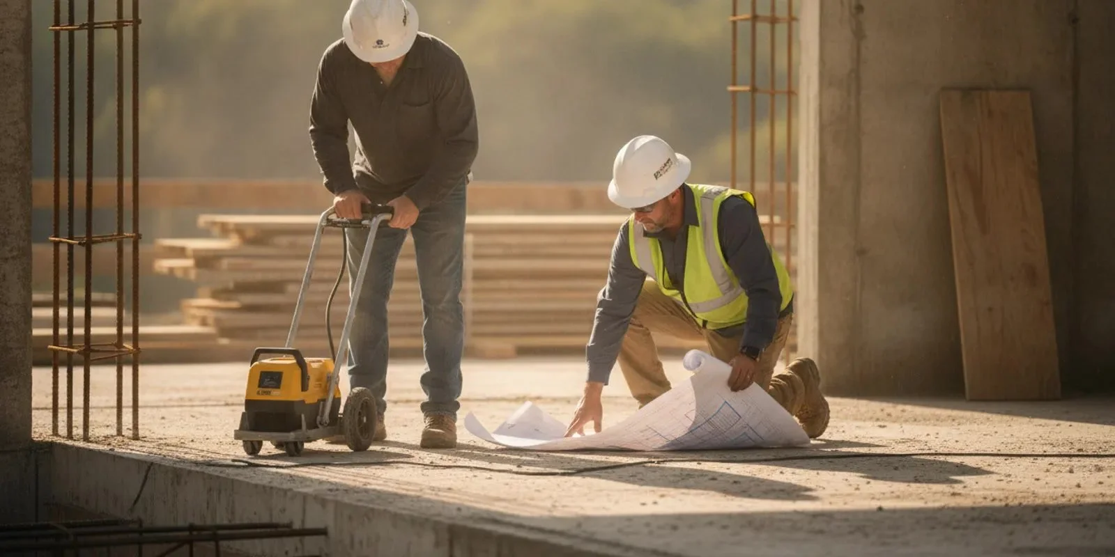
GPR concrete scanning services help contractors investigate a defined area before drilling, cutting, or demolition. The most useful question is not just whether a scan is available. It is what the crew must learn, where coverage is needed, how findings will be communicated, and who reviews them before work proceeds.
What should GPR concrete scanning services clarify?
Ground penetrating radar (GPR) sends electromagnetic energy into a material and records reflections from changes beneath the surface. In concrete, those responses can help an operator identify indications of embedded features or changes that matter to planned work. They are not a guarantee that every item or condition will be detected or correctly identified.
Start by naming the decision the scan should support. A crew planning one core hole needs a precise location and opening size. A saw-cut crew needs the full proposed path and limits. A renovation team may need several locations coordinated across a floor. Explain the next operation, not just the request to “scan the slab.”
Review the company’s core drilling and GPR scanning service as you prepare the scope. Scanning, drilling, cutting, and demolition are distinct tasks. If you need more than one, identify each in the request so coverage and responsibilities are clear.
How should you define the scan area?
Mark the proposed work on a current drawing or clear photograph. Include dimensions and a recognizable reference, such as a grid line, wall, column, or slab edge. Identify the floor or room and the face to be scanned. A field label should match the plan label so the operator, foreperson, and project reviewer are discussing the same location.
For a core hole: give the center point and intended diameter, and note nearby edges, openings, or other constraints.
For a slab cut: mark the entire line, length, width, and endpoints. Do not show only a general work zone if the cut path is known.
For wall work: identify the wall face, approximate thickness if known, height, and penetration location.
For multiple openings: number each one on the plan and use the same number in the field.
Separate proposed work from existing features. If the drawing is preliminary, label it as such and tell the team what may change. Send the revision date and share the latest version with the operator. A scan tied to an outdated layout can be misapplied after an opening moves.
Before the visit, agree on how the scan boundary will be established onsite. If the drawing uses a grid but the field has no visible grid marks, decide which fixed features will serve as references. For a set of rooms, name each space consistently. These simple choices help keep marks, photographs, and notes tied to the intended work.
For a larger scope, build a location schedule rather than relying on a long email description. Give every opening or cut a unique ID, then list its room, surface, dimensions, and drawing reference. For example, “P-03, Level 2 east corridor, slab, 4-inch opening, grid B/4” is easier to verify than “the third hole near the hallway.” The schedule also makes it easier to identify a missed location during the handoff.
When the plan changes, issue a revised drawing and state what changed. A useful revision note says whether a location moved, whether its size changed, or whether a new opening was added. Ask the recipient to confirm that the field layout and scanning scope now refer to the same revision. Do not assume a mark from an earlier layout remains valid simply because the change seems small.
What conditions can affect field coverage?
Access and surface conditions can affect the work. Stored materials, equipment, uneven surfaces, coatings, moisture, restricted clearance, and limited access may affect contact or movement. Dense reinforcement, layered construction, and complex assemblies may make responses harder to interpret. Share known conditions when requesting the work instead of waiting until the crew arrives.
Confirm the surface will be available at the scheduled time. Decide who will move stored materials or fixtures and whether the area must be closed to other work during scanning. On an active site, identify who provides access, how the work area is protected, and whether the marks might be cleaned or covered before the next operation.
There are practical limits to what a scan can establish. Findings are interpretations of instrument responses, not a complete map of everything inside concrete. Do not describe a scan as proof that a proposed location is clear. The project’s responsible reviewer should consider findings, drawings, and other relevant information before approving work.
For additional background on how the method is used, see this Federal Highway Administration overview of ground penetrating radar. It describes GPR as a method for investigating subsurface conditions; it does not make a specific project scan a guarantee. Keep that distinction clear when sharing results with a crew.
Think through the visit from the operator’s arrival to the start of the next trade’s work. Is the room open and unlocked? Are lifts, carts, or stored materials blocking the proposed route? Can the operator reach the full marked area without crossing an active work zone? Is there enough light to photograph markings and match them to the plan? Recording answers in advance helps the site contact remove avoidable obstacles.
Also decide how the team will handle an area that cannot be scanned as planned. A blocked section, inaccessible face, or unclear reference should be recorded rather than silently treated as covered. The project team can then determine whether to clear access, adjust the proposed work, request additional investigation, or have the responsible reviewer assess the remaining uncertainty. This avoids turning a partial inspection into an unsupported all-clear.
What should a useful deliverable communicate?
Agree on the deliverable before the scan. Depending on the agreed scope, it may include field marks, annotated photographs or drawings, and a record of locations covered. The aim is to make the observations understandable to the people laying out and performing the next operation, not to imply certainty that the method cannot provide.
Coverage: list the locations scanned and identify areas that were excluded, obstructed, or inaccessible.
References: show how each mark relates to a fixed edge, grid, or other site feature.
Observations: distinguish observed indications from assumptions or unverified interpretations.
Limitations: record conditions that affected access, coverage, or confidence.
Review: state who receives the information and who must review it before work continues.
Do not rely on unexplained marks when multiple crews are involved. Make sure the foreperson knows what the marks represent, which opening or cut they correspond to, and whether the layout remains current. If marks are disturbed, covered, or separated from their plan, stop and confirm how the information can be checked before proceeding.
A useful handoff connects each observation to a decision without pretending to make that decision automatically. For example, a field note might identify an indication near a proposed opening and refer the location to the designated reviewer. The reviewer can then decide whether to move the opening, gather more information, or revise the work plan. The scan report should not be treated as a substitute for that review.
Set expectations for timing and format, too. A crew may need field communication before leaving the site, while a project manager may need annotated material that can be circulated later. Confirm who receives the notes, how the plan version will be identified, and whether the next trade is expected to wait for review. If the information will be shared across email, a project platform, and printed plans, use the same location IDs in every version.
On receipt, check that the deliverable is complete against the request. Count the numbered locations, confirm that each appears in the coverage record, and identify any exclusions. Verify that the drawing reference is legible and that observations are not being presented as a guarantee. If a location is missing or a note is unclear, ask for clarification before the crew treats the handoff as permission to proceed.
How does scanning connect to drilling, cutting, and demolition?
Scanning is one part of a sequence. A team may scan to inform planning, then carry out a separately planned core drill or concrete cut. If the project also involves removing surrounding concrete or interior demolition, define the boundary between those scopes so one operation does not interfere with another.
For planned penetrations, review this guide to concrete core drilling. For line-based openings, the concrete cutting planning guide discusses planning considerations. Each service needs its own scope; do not assume a scan quote includes drilling or cutting.
Sequence the handoff. Identify which trade needs the results, who approves the final location, and when the next operation is scheduled. Leave enough time for review and for resolving a conflict between the proposed work and scan observations. If the location changes after scanning, tell the scanning team and reviewer; old marks should not be assumed to apply to a new location.
For example, a renovation may require a scan before the mechanical contractor drills a penetration, followed by cutting a nearby trench and later removing a partition. These may involve different work areas and different approvals. Put each operation on the schedule with its own responsible party, then identify the point at which scan findings must be reviewed. That simple sequence prevents the crew from treating “scan complete” as meaning every later scope is ready to start.
Keep the layout physically and digitally connected to the work. If a crew transfers a mark from a drawing to the slab, compare its reference points with the field plan before drilling or cutting. If another trade relocates equipment, partitions, or temporary barriers, check that the original reference remains visible. A layout that cannot be matched to its source should be verified instead of guessed.
How should you compare proposed scanning scopes?
Compare proposals by whether they address the same area and decision, not by the word “scanning” alone. Ask each provider to state what is included, what the site must provide, and how findings will be communicated. Clarify differences before comparing costs.
Coverage and exclusions
Check whether the proposal names the exact rooms, surfaces, openings, or cut paths. Ask how the team will handle inaccessible areas and whether additional locations require a scope change. A proposal covering a broad area is not necessarily equivalent to one focused on a specific penetration if the deliverables and field references differ.
Preparation and access
Confirm who clears the work area, provides access, identifies the locations, and coordinates with other trades. Ask whether the surface must be exposed and available. These details help prevent a mismatch between the planned visit and actual site conditions.
Communication and documentation
Find out whether field marks, annotated images, or another record are included, and how the results will be tied to the drawing. Ask who should interpret findings for the project and how a revised layout will be handled. The goal is a usable handoff, not an unsupported promise that every condition will be identified.
Useful questions include:
Which exact locations and surfaces are included?
What access or preparation is expected from our team?
How will locations and findings be identified in the field?
What is excluded, including obstructed or inaccessible areas?
Who should review findings before the next operation?
How should a changed opening or drawing revision be communicated?
To make proposals comparable, prepare a short scope sheet and send the same version to each provider. Include the drawing, location schedule, intended operation, site access notes, expected timing, and requested handoff. Then evaluate responses against those same points. One proposal may offer a different documentation format or cover a different number of locations; record that difference rather than assuming the line items are interchangeable.
Ask about responsibility at the boundaries. If the team cannot access one room, how will that exception be documented? If the request expands after arrival, who confirms the additional locations and how the schedule is affected? If the scope includes scanning but not the following cut or drilling, who coordinates the transition? Clear answers help reveal whether a proposal matches the project’s actual need.
Do not use a low total as the only comparison. A lower figure may cover fewer areas, provide a different handoff, or exclude preparation that another proposal includes. Conversely, a longer scope description is not automatically better if it does not address the planned operation. Compare coverage, access assumptions, deliverables, exclusions, and review roles first; then assess the commercial terms against that defined scope.
What does a practical project example look like?
Imagine a contractor planning three penetrations on a concrete floor for a renovation. The first request says only “scan before drilling.” That leaves important questions open: which floor, what hole sizes, how far apart, and what drawing controls the layout? The operator may arrive without a reliable way to match the request to field marks.
A better request attaches a marked plan with three numbered centers, approximate diameters, nearby walls or grid references, and the planned drilling date. It notes that one location may shift if a trade coordination meeting changes the route. The team confirms the floor is accessible and that stored materials will be moved before the visit.
After scanning, the marks and observations are matched to the numbered locations. If an indication is found where one opening is planned, the result is communicated to the designated reviewer. The reviewer decides whether the location or plan should change. If the opening moves, the team does not simply carry the earlier mark across the floor; it confirms whether additional scanning or a revised scope is needed.
This example shows why clear scope matters even when the work involves only a few penetrations. A consistent location system, current plans, and an explicit review step reduce confusion between the scan and the operation that follows.
Consider a second case involving a long cut rather than isolated holes. The contractor marks only the endpoints on a preliminary drawing, but the field crew plans to alter the route to avoid equipment. That change affects the actual path to be considered. The project contact should issue an updated line with its limits and identify the revision before the scan, rather than expect the operator to infer an unmarked route onsite.
If the updated route crosses a congested area or approaches an edge, note those constraints and flag them for the responsible reviewer. The handoff should identify which portion was covered and any access limitation. The reviewer then evaluates the information alongside the project drawings and decides how to proceed. The example reinforces a practical rule: scan information is useful only when its location and purpose remain clear through each change.
What should Georgia contractors send when requesting a quote?
A concise request gives the estimating team context. Include the project location, type of structure, whether the work is on a slab or wall, number and approximate dimensions of openings, and the next operation. Attach a plan or clear photographs with proposed locations marked.
Also include access details, schedule needs, surface conditions, known restrictions, and the drawing revision. State whether the request is for scanning only or also includes concrete cutting, core drilling, or demolition. All Pro Demolition serves projects within a 150-mile radius centered on Atlanta, Georgia; share the site location so coverage can be confirmed.
For project inquiries, use the contact page and provide the scope materials. You can review the company overview and the introductory guide to concrete scanning while preparing a request. For related service planning, see the concrete drilling services guide and the guide to choosing a concrete cutting company.
Before sending, check that the attachments open and that proposed locations are readable on a phone or printed copy. Include a contact person who can answer access questions and identify the current plan revision. If the job has several phases, say which phase needs scanning first and which later work is still tentative. These details help the team understand the request without assuming that a future phase has already been authorized.
A simple request can be organized in a few lines: project address and site contact; surface and room; number, size, and purpose of openings or cut lines; plan revision; access and schedule; and whether drilling, cutting, or demolition is also being considered. If information is unknown, label it “to be confirmed” rather than filling the gap with a guess. A transparent preliminary scope gives the team a clear basis for follow-up questions.
Frequently asked questions about GPR concrete scanning services
Does GPR scanning identify every item in concrete?
No. Materials, depth, spacing, access, and other conditions can affect readings and interpretation. Treat scan information as one input for project review, not a guarantee that every embedded item or condition will be found.
Can scanning tell us exactly where to drill?
Scanning can inform planning, but the responsible project team must review findings and approve the work location. Confirm that field marks match current plans and that no later change has invalidated the layout.
Should scanning be requested with core drilling?
That depends on how the project is organized. Describe both tasks if you need scanning and drilling so coverage, sequencing, and responsibilities are clear. A scan request alone does not establish that drilling is included.
What makes a quote request easier to assess?
Send marked plans or photographs, opening dimensions, site location, access information, schedule expectations, and a description of the next operation. Identify cutting, drilling, or demolition work separately.
Clear scope, current plans, and an identified review step help contractors use scan information appropriately and coordinate the work that follows.