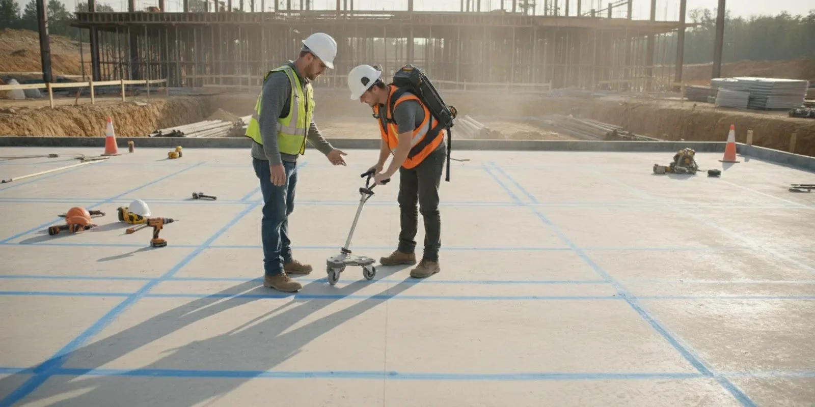
GPR scanning services can give a construction team information to consider before planned drilling or cutting in concrete. But a useful project outcome is more than a scan visit: the team should know what areas were examined, what was observed, what could not be assessed, and who will review the findings before work proceeds. For Georgia contractors, agreeing on these points before mobilization makes the information easier to use across trades.
What should GPR scanning services clarify before a visit?
Start with the decision the scan is intended to support. A planned core penetration, a line of slab cuts, and an investigation across a larger area are different scopes. Explain the operation and the question the crew needs answered instead of requesting a generic scan with no defined work area.
Before confirming the scope, share the project location, the concrete surface involved, the approximate area, and the planned drilling or cutting locations. Add drawings or photographs when available. Identify the opening size or cut dimensions, the purpose of the work, and the date by which the next trade needs the information. These details help the provider discuss access, coverage, timing, and possible limits before the crew arrives.
Purpose: State whether the scan is intended to inform a core hole, a saw cut, or another concrete operation.
Location: Identify the floor, wall, slab zone, or other surface. Use dimensions, drawing references, or marked photographs.
Access: Note occupancy, equipment, finishes, obstructions, and the hours when the area can be reached.
Schedule: Explain when the follow-on trade needs the findings and whether scanning must fit a specific work window.
Decision owner: Name the person who will review field information and coordinate any change to the planned work.
These inputs also make proposals easier to compare. A price for one marked location should not be treated as equivalent to a proposal covering a broad floor area or several separate work zones. Ask each provider to state the included locations, assumptions, and communication deliverables. For a fuller list of screening questions, see our guide to hiring a GPR scanning contractor in Georgia.
How should you define the scan area?
Use a drawing or field mark to show the planned work, but do not assume a mark alone defines the required coverage. Tell the provider the dimensions and location of the proposed opening or cut, then ask how much surrounding area should be examined for the project purpose. The scanning team can confirm what coverage is practical for the method and site conditions.
For a single penetration, a mechanical contractor might provide a proposed center point, opening size, and nearby constraints such as a wall, equipment pad, or restricted access. For several penetrations, a general contractor can label every location on a plan and use the same labels in field communication. In either case, agree who will transfer the locations to the surface and who will verify that the marked points match the current plan.
Do not combine unlike locations into a vague description such as “scan the floor.” Identify each work zone, its dimensions, and the related operation. A drawing can also distinguish areas that are in scope from areas that are reference only. If the work changes after the request, send an updated drawing or confirm the change with the provider rather than assuming the original scope covers it.
Ask how the crew will communicate if part of a location cannot be scanned as planned. Surface finishes, restricted access, nearby equipment, or other conditions can limit what can be examined. The project team should know which area was not assessed instead of assuming that an unexamined location was cleared. Our overview of scanning coverage for Georgia projects offers more context on framing that question.
What should contractors expect during the field process?
Before the visit, verify the site contact, access arrangements, work-area boundaries, and the person who can answer questions. Make sure the agreed area is ready for the work and that other trades know when scanning is underway. If there are multiple locations, use consistent labels on the plan, in the field, and in any later notes.
At the start of the visit, walk through the scope with the scanning crew. Confirm which locations are included, what operation the results will inform, and how the findings will be communicated. If the actual site differs from the information used to plan the visit, pause to clarify whether the work area or sequence should change. A changed condition should not be silently treated as part of the original plan.
During the scan, the contractor’s role is to help keep the work tied to the agreed locations and project question. If an area is blocked or a mark is unclear, resolve it with the site contact and provider. When the scan covers several locations, check each label off against the drawing so a missed or inaccessible area is visible before the crew leaves.
GPR is a method of investigating concrete, not a guarantee that every embedded condition will be identified or that an opening is automatically safe to make. The project team should use the information alongside drawings, site conditions, applicable procedures, and qualified judgment. For site-specific hazards and applicable requirements, coordinate with the project safety lead and consult OSHA’s safety resources. If a finding is unclear, ask the provider to explain the uncertainty and agree on the next review step before the work proceeds.
What information should the scan findings include?
Agree on the communication format before the scan begins. Field markings and a direct briefing may be central to a small, immediate task. A multi-location project may also need annotated drawings, photographs, or a written record so that the superintendent, project manager, and trade crew can refer to the same information. Match the deliverable to the people who must make the next decision.
A useful field handoff should make clear what the provider did and what the project team still needs to decide. Ask whether the record can identify:
Locations examined, using the project’s labels or drawing references.
Areas that were inaccessible, outside the agreed coverage, or otherwise not assessed.
Relevant indications observed and their approximate position in relation to the proposed work.
Any uncertainty, limitation, or condition the provider wants the contractor to consider.
How findings were communicated in the field and which project representatives received them.
Any adjustment or additional review discussed, without implying that the provider has approved the work.
Ask who owns the final record, when it will be available, and how it will reach the crew that performs the concrete work. If the provider marks locations in the field, determine whether those marks are intended to remain visible and who will check them before drilling or cutting. If a marked area is cleaned, covered, or disturbed, the next crew may need the location re-confirmed rather than relying on an old photograph.
Keep one current version of the project drawing and notes. If revisions occur, label the updated version and tell each recipient which information supersedes the earlier one. A clear record helps avoid two people acting on different location marks, but it does not replace the field crew’s own required checks or the project’s approval process.
How should scanning connect to drilling or cutting?
Scanning is most useful when it is scheduled around the operation it is meant to inform. Confirm whether one contractor will provide both scanning and the planned concrete work, or whether another subcontractor will take over. If separate teams are involved, set a handoff: who communicates the findings, who verifies the work location, and who can authorize a change in the work plan.
For a planned core hole, identify the intended opening and the crew responsible for drilling. For a saw cut, show the proposed line, length, and endpoints. Those are planning inputs, not a substitute for field verification. The trade performing the work should receive the relevant findings and understand any limits before starting. If results lead to a proposed shift, the appropriate project representative should review and approve the revised location.
All Pro Demolition provides demolition, concrete cutting, and core drilling services. Contractors can review the core drilling and GPR scanning service information and our concrete cutting planning guide when coordinating related work. The actual scope depends on the project; do not assume every site or opening follows the same sequence.
How can you compare GPR scanning proposals?
Compare scope and communication, not only the quoted total. Ask each provider the same questions, then note differences that could affect the project schedule or handoff.
Coverage and assumptions
Which locations and approximate areas are included? Does the proposal cover one marked opening, a set of labeled locations, or a larger zone? What assumptions does it make about access, surface conditions, and the information supplied by the contractor? An answer should let you distinguish the included work from work that would require a revised scope.
Field coordination and deliverables
Who will meet the crew, who receives the findings, and what form will the communication take? Ask how inaccessible areas or changed site conditions will be noted. Clarify whether the crew will provide field markings, a briefing, photographs, annotated plans, or another agreed record. The right form depends on the project; the important point is to decide before the visit.
Schedule and next steps
How does the proposed visit fit the drilling or cutting schedule? Will the decision-maker have time to review the information before the next trade is expected? What should happen if the scan raises a question or if a proposed location changes? A quote is more useful when it describes how the service connects to the project’s next step.
If a proposal is vague about location, coverage, or handoff, request clarification before comparing it with a more detailed scope. You can also review what concrete core drilling involves and our guide to concrete scanning GPR for related project-planning context.
What does a practical project handoff look like?
Consider a tenant-improvement project with three proposed penetrations in a concrete floor. The mechanical subcontractor marks the locations on a plan, notes the intended opening sizes, and identifies the date the drilling crew is scheduled. The general contractor names a site contact and the person who can review any question about the proposed locations.
Before mobilization, the scanning provider and contractor confirm which three points are included, how the locations will be identified on site, and what communication the crew will provide. During the visit, one point is inaccessible because equipment occupies the area. That limitation is called out rather than treated as a completed scan. The project team then decides whether to clear access and arrange a return, revise the proposed location, or seek another review. The choice belongs to the responsible project decision-makers, not to an assumption that an inaccessible point is acceptable.
After the visit, the superintendent shares the current findings and the location references with the drilling crew. The crew verifies it is working from the right plan and raises any mismatch before starting. This example does not prescribe a universal process or guarantee an outcome. It shows why scope labels, limitations, and a named decision-maker matter just as much as the visit itself.
How should the team handle a question or changed location?
A scan may lead the project team to pause and clarify a proposed location, or site conditions may change between the scan and the planned concrete work. Decide in advance how questions will move from the field to the person with authority to review them. The work crew should not have to infer whether an uncertain result or an altered mark has been accepted.
Use a simple escalation sequence. First, stop work at the affected point and identify the exact location using the drawing label, room or grid reference, and visible field mark. Next, tell the superintendent or designated decision-maker what changed and share the relevant scan communication. If the provider needs to explain a finding or limitation, ask directly rather than translating technical observations into an assumption. The responsible project representative can then determine whether more information, a revised location, or another review is needed.
Keep the rest of the project scope separate from the unresolved point where practical. For example, if one location among several needs review, clearly identify which locations have been discussed and which one remains open. Do not let a verbal update become detached from the current drawing. Note the date, participants, location label, and agreed next action in the project’s normal communication record.
This process is not a substitute for the project’s safety or approval procedures, and it does not establish that a location is safe to use. It creates a traceable handoff so that the people responsible can make the next decision with the right information. When a change affects access, schedule, or scope, confirm those impacts with the provider and the follow-on trade before resetting the work sequence.
What should you send to request a Georgia project quote?
A concise, specific request helps the provider understand what needs to be examined and when the information is needed. Include:
Project city, site address or area, and a site contact.
The concrete surface and approximate dimensions of each scan area.
A marked drawing or clear photographs showing proposed locations.
The planned operation, such as core drilling or concrete cutting, and the intended schedule.
Known access limits, surface conditions, occupancy, and relevant site rules.
The name or role of the person who will receive findings and coordinate the next trade.
Your preferred format for the field handoff, if the project has a specific documentation need.
Flag unknown details rather than guessing. If drawings are preliminary, say so. If the scope includes several areas, label each one so the provider can confirm coverage. For a project that includes planned penetrations, our core drilling guide explains the operation at a general level. For larger demolition work, see the commercial demolition planning guide.
Frequently asked questions about GPR scanning services
Does a scan guarantee that a planned opening is clear?
No. Scanning provides information for project planning, but it should not be treated as a guarantee that every embedded condition has been found or that work can proceed without further review. Consider the findings, stated limitations, site conditions, and the procedures of the trade performing the work.
Should scanning happen before drilling or cutting?
If scanning is intended to inform a planned operation, schedule it early enough for the project team to review findings and coordinate any changes. The exact sequence depends on scope, access, and the construction schedule. Confirm timing with the people responsible for the scan and follow-on work.
What should I send when requesting a quote?
Provide the project location, marked areas or drawings, approximate dimensions, intended operation, access conditions, and desired schedule. Identify who will receive the findings and make or coordinate the next project decision.
Can scanning and concrete work be coordinated together?
They can be discussed as related project needs, but confirm the actual scope and responsibilities for each service. All Pro Demolition offers concrete cutting and core drilling in addition to GPR scanning; contact the team to discuss the work planned at your site.
Review core drilling and GPR scanning services
Before the crew mobilizes, make sure the scan area, handoff plan, and decision-maker are clear so the findings can support an informed next step.