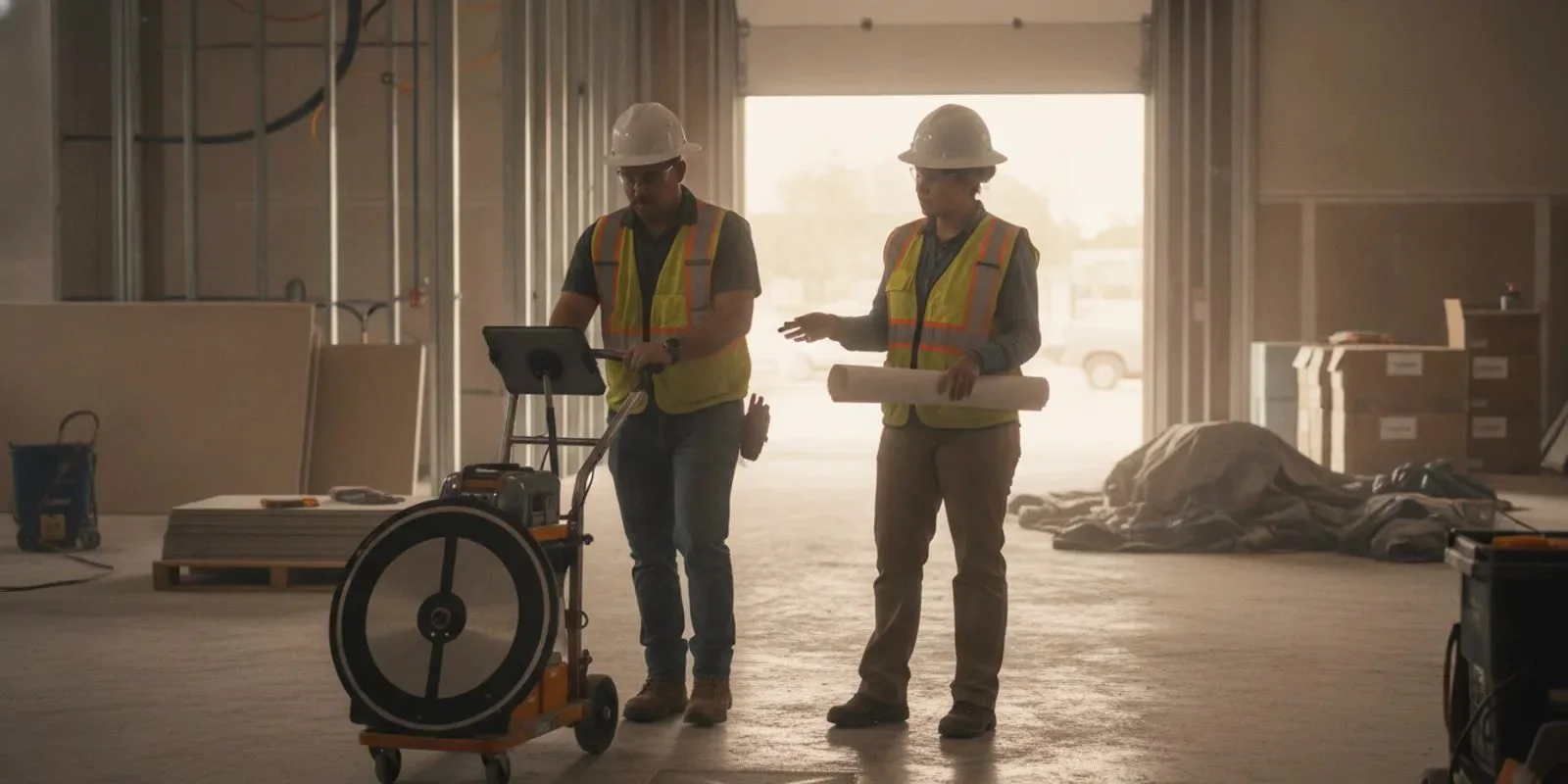
Planning a core opening or concrete cut takes more than marking a spot on a slab. GPR scanning can help a project team review indications within concrete before drilling or sawing begins, but the result is useful only when the scan area, field interpretation, and next steps are clear. This pre-drill checklist helps Georgia contractors and project managers organize the work, resolve questions, and give the next crew a usable plan.
What should the team define before GPR scanning?
Start with the construction decision the scan is meant to inform. âScan this floorâ is not a complete scope. A useful request states what work is proposed, where it is planned, what the opening or cut must accomplish, and who will decide what happens if the scan reveals a concern. A small circular core for a pipe sleeve raises different layout questions from a long sawcut for a trench.
Before the scan, gather the information the field team will need to connect observed indications to the planned work:
Mark each proposed opening or cut. Show the center and approximate diameter for each core, or the proposed route, length, and width of each sawcut. Label locations consistently, such as C1, C2, and Cut A. If dimensions are preliminary, state that clearly.
Define the area for review. Identify the intended footprint and discuss whether there is room around it to consider a shift. Mark usable boundaries in the field. A drawing is helpful context, but it may not reflect changes made during construction.
Share what is known about the concrete. Provide available structural or construction drawings, slab or wall thickness information, renovation records, and whether the concrete is elevated or on grade, if known. Separate confirmed information from assumptions.
Explain the opening's purpose. Identify the pipe, conduit, duct, drain, anchor, or other trade need. Include any known direction, elevation, alignment, or connection constraints so that a possible alternate location can be evaluated against the actual installation.
Describe access and surface conditions. Flag floor coverings, coatings, equipment, stored materials, occupied areas, restricted access, and other conditions that could affect the scan or marking.
Name the decision-makers. Identify the project lead and the person authorized to accept a revised location or work method. Include the structural or design professional who should review a change when the project requires that input.
This preparation helps distinguish a scanning question from a design question. A scanning operator can report observations and limitations; the project team still needs to decide whether the planned opening works for the building and the installation. For basic context on what the opening entails, review the concrete core drilling process and confirm that the proposed penetration serves the receiving trade.
What can GPR scanning identify before a cut or core?
Ground-penetrating radar sends energy into a material and records reflections from changes within it. In concrete, scanning may help a qualified operator locate and map indications associated with embedded objects, including reinforcing steel and potential obstructions or embedded services. The information can help a team assess a proposed path and consider whether to adjust the location or approach.
A field result is not a complete inventory of everything inside a slab. What can be identified depends on the concrete and surrounding conditions, scan pattern, access, surface condition, equipment, and operator interpretation. The team should ask what area was examined, what indications were observed, how they were marked or documented, and what limited the review. A mark should not be translated into a certainty that it does not represent.
For example, a marked linear indication crossing a proposed core path gives the team a reason to pause and discuss the layout. It does not, on its own, identify the object's full nature or establish whether a change is structurally acceptable. The question for the project team is what the finding means for this specific work, based on the available documentation and responsible professional judgment. For additional background, see the guide to concrete slab scanning for rebar, utilities, and drilling. This article focuses on the next step: coordinating the result into a pre-drill decision.
How should findings affect layout and sequencing?
If an indication appears near the proposed path, do not treat the original mark as final until the team has resolved the question. Compare the finding with the opening's purpose, structural requirements, nearby systems, and the receiving trade's needs. A slight shift may avoid one observed indication but place the penetration where the pipe cannot connect or where another conflict exists. A revised mark is an option to evaluate, not automatic authorization.
Match the finding to a defined work item. Relate the observation to the labeled core or cut and a stable field reference, such as a grid line, wall, or measured offset. If the reference is unclear, re-establish it before discussing a change.
Describe the issue without overstating it. Explain whether the indication intersects the planned footprint, lies nearby, or leaves uncertainty. Avoid reducing a nuanced observation to âclearâ or âblockedâ if that is not what the review supports.
Develop practical alternatives. Depending on the work, the project team might consider another position, a different opening size, a revised route, a changed sequence, or another method. Note the consequences of each alternative for the installation and adjacent work.
Check impacts beyond the surface mark. Ask whether a shift affects a supported system, structural element, connection point, opposite-side condition, access, finish, or another trade's layout. Confirm that the new position still performs the intended function.
Obtain approval and update the controlling information. Send the proposed change to the project lead and the design or engineering professional when appropriate. After approval, revise the layout or drawing, identify the current version, and communicate it to affected crews.
Revisit scan coverage if the scope changes. If the core moves beyond the reviewed area or its size changes, ask the provider or project lead whether additional review is needed. Do not assume the prior result covers a new location.
Consider a worked example: a mechanical subcontractor proposes a core for a new service, and the scan review marks an indication across the planned location. The installer suggests shifting the core several inches. Before moving the mark, the team checks whether the service can still reach its connection, whether the new point falls within the reviewed area, and whether the shift creates another conflict on the opposite side. The project lead gets the necessary design input, confirms the accepted location, records it on the current plan, and tells the drilling crew which mark is approved. The initial mark, the suggested shift, and the approved layout are three different things; label and communicate them accordingly.
When the scope includes sawing as well as drilling, coordinate the cut limits and method with the same approved layout. A proposed trench route can affect more than a single penetration, so review its start, end, width, and relationship to nearby work. All Pro's Georgia concrete cutting planning guide offers further context for organizing cutting work. For trade coordination involving penetrations, also see the Georgia MEP core-drilling planning guide.
What belongs in the scanner-to-driller handoff?
The handoff should make field observations understandable to the people performing the next task. âThere is steel nearbyâ does not say where the indication is, what it means for the proposed opening, whether the review covered the final footprint, or whether a change has been approved. Whenever possible, have the relevant people review the work area together and tie instructions to a stable location reference.
Identify the work item and location. Use the same label on the plan, field marks, photos, and notes. Reference a grid line, wall, column, or measured offset rather than relying only on a loose description such as ânear the doorway.â
Explain the markings. Walk through what each line, symbol, or notation represents. If a mark indicates an observed feature or a proposed boundary, say so; do not leave the next crew to guess.
State what was and was not reviewed. Identify the scan limits and any area that was inaccessible, outside scope, covered, or difficult to interpret. Make sure the crew understands that an unmarked area is not necessarily a confirmed empty area.
Confirm the final layout and revision. Point out which marks reflect the approved plan and remove or clearly supersede obsolete marks where practical. Give the crew access to the current drawing or written direction.
Set the sequence and stop points. Agree when scanning is complete, who checks the layout, what must be resolved before cutting or drilling, and who can authorize a change at the workface.
Provide a contact for discrepancies. Tell the crew whom to call if the field conditions differ from the drawing, marks conflict, or an unexpected condition appears.
Photos of the marked area and an annotated plan can help everyone refer to the same location if they clearly correspond to the site and current layout. Include a reference point in a photo, and label the view with the work item and date or drawing revision used on the project. Keep preliminary alternatives separate from the approved layout. If a drawing, mark, and verbal direction conflict, pause and reconcile them before work proceeds.
A useful handoff confirmation can be brief but specific: âCore C2 is the approved location shown on revision 4, measured from grid B. The scan review covered the marked circle and the surrounding area shown on the sketch. The crew should stop and contact the superintendent if the field mark does not match the plan.â This does not replace project procedures; it makes the immediate instruction easier to verify. For more on locating reinforcement and documenting a scan context, see the concrete rebar mapping guide.
How can the team handle a changed or uncertain condition?
Construction layouts can change after a scan. A trade may revise a route, the intended opening may grow, equipment may block part of the area, or a finish may be removed and expose a different surface. Each change should prompt a scope check rather than a quick assumption that the earlier review still applies.
Use a simple change-control sequence:
Pause the affected cutting or drilling task and identify exactly what changed.
Compare the current field condition and proposed work with the area and layout that were reviewed.
Ask the scanning provider or project lead whether the change affects the scan's coverage or interpretation.
Route structural, design, or system-function questions to the professional responsible for that decision.
Record the decision, update the plan or field marks, and tell each affected crew which instruction is current.
If one part of a multi-opening job changes, do not assume every other location needs a new review, nor assume none do. Check the specific changed item and how it relates to the agreed scope. For instance, a new sleeve location several feet away may need its own review, while an unchanged, separately referenced core may remain within its original plan. The provider and project authority should determine how the changed work is handled.
Jobsite coordination also includes following applicable site safety procedures and communicating hazards to affected workers. OSHA provides workplace safety information at the Occupational Safety and Health Administration website. Use the requirements that apply to the project and site; a general resource does not replace the project's safety plan or qualified professional judgment.
What limits call for qualified field judgment?
GPR scanning is one input to a construction decision. It does not establish by itself that a slab is structurally suitable for an opening, approve a design change, or guarantee that every embedded item or condition has been identified. Reinforcement congestion, restricted access, surface coverings, complex geometry, unclear boundaries, and incomplete drawings can all affect how a field result should be interpreted.
Keep the result within its scope. A scan reviewed for one area, opening size, and purpose should not automatically be applied to another area, a larger opening, or a later layout. When the field result is uncertain, when the proposed change could affect structural performance or a system's function, or when drawings and observed conditions do not agree, involve the project authority and the relevant design or engineering professional.
Before releasing the work, check that the team can answer these questions:
What exact cut or opening is planned, and what is its purpose?
Which field marks, drawings, and revision identify its approved location?
What observations and limitations were reported for that location?
Who accepted the final layout and any change from the original proposal?
What should the crew do if actual conditions differ from the plan?
If an answer is missing, resolve it before proceeding. For projects that combine scanning and drilling, review All Pro's core drilling and GPR scanning service information. If the proposed work extends to removal beyond a penetration, the concrete demolition guide can help distinguish broader removal from a specific core or cut.
What should you send when requesting a Georgia estimate?
A concise project request helps the team understand the work and identify missing details. Include the project location, whether the task involves core drilling, concrete cutting, or both, the number and approximate dimensions of openings or cuts, available drawings or photos, access constraints, schedule, and the trade or system the work supports. Say whether scanning and the follow-on work are being considered together or as separate scopes.
Organize the request in a few practical groups:
Project and timing: city or project address, desired work window, site access hours, and any milestone that depends on the opening.
Proposed work: number of cores, approximate diameters and locations, or cut route and dimensions; note which information is still tentative.
Available context: plans, photos, known slab details, and previous renovation information. Identify what is confirmed and what needs field verification.
Coordination: requesting contractor or trade, project contact, installation served, and who will approve a layout change.
Site constraints: occupied space, surface finish, access limitations, obstructions, or requirements for coordinating with other crews.
A useful request might read: âCommercial renovation in the Atlanta area; two proposed cores, approximate diameters and locations shown on the attached plan; elevated slab, thickness not confirmed; daytime access available; openings serve a mechanical installation; scanning and drilling scope to be discussed. Please identify what information is needed to confirm the work area.â This communicates the task without presenting unknown details as settled. Add the date by which the team needs a layout decision, and identify who can answer technical questions.
Use the contact page to describe the project and requested service. All Pro Demolition serves projects within its stated Atlanta-area coverage; confirm that the location and schedule can be accommodated when requesting a quote. Keep the request focused on the work so the proposed scope can be discussed clearly.
Discuss core drilling and GPR scanning
Frequently asked questions about GPR scanning before drilling
Does GPR scanning guarantee a proposed core location is clear?
No. Scanning can provide useful indications, but it has limits and does not guarantee that every embedded object or condition has been identified. Review the findings and stated limitations with the responsible project team before work proceeds.
Should the crew scan again if the opening moves?
Ask the scanning provider or project lead. A changed location or opening size may fall outside the area or plan that was reviewed, so the team should decide whether additional scanning or review is needed.
Who approves a change to the opening location?
The appropriate project authority should approve changes, with design or engineering input when required. A field indication can inform the discussion, but it does not independently authorize a structural or trade-design change.
Can scanning, cutting, and core drilling be planned together?
Yes. The activities can be coordinated around the proposed locations, scope, and sequence. Define which crew handles each step, how findings will be shared, and who confirms the final layout before work starts.
What should your first conversation accomplish?
A useful pre-drill plan connects the scan area, observed findings, approved layout, and crew handoff. Define the question before scanning, involve the right decision-makers when findings affect the plan, and make sure every crew knows the current instructions. Confirm the scope, communicate limitations, and resolve open questions before mobilization so the work begins with shared expectations and clear responsibility.